
Coming soon · iPhone and Android · Ohio first
First Rise: Artifact Finder
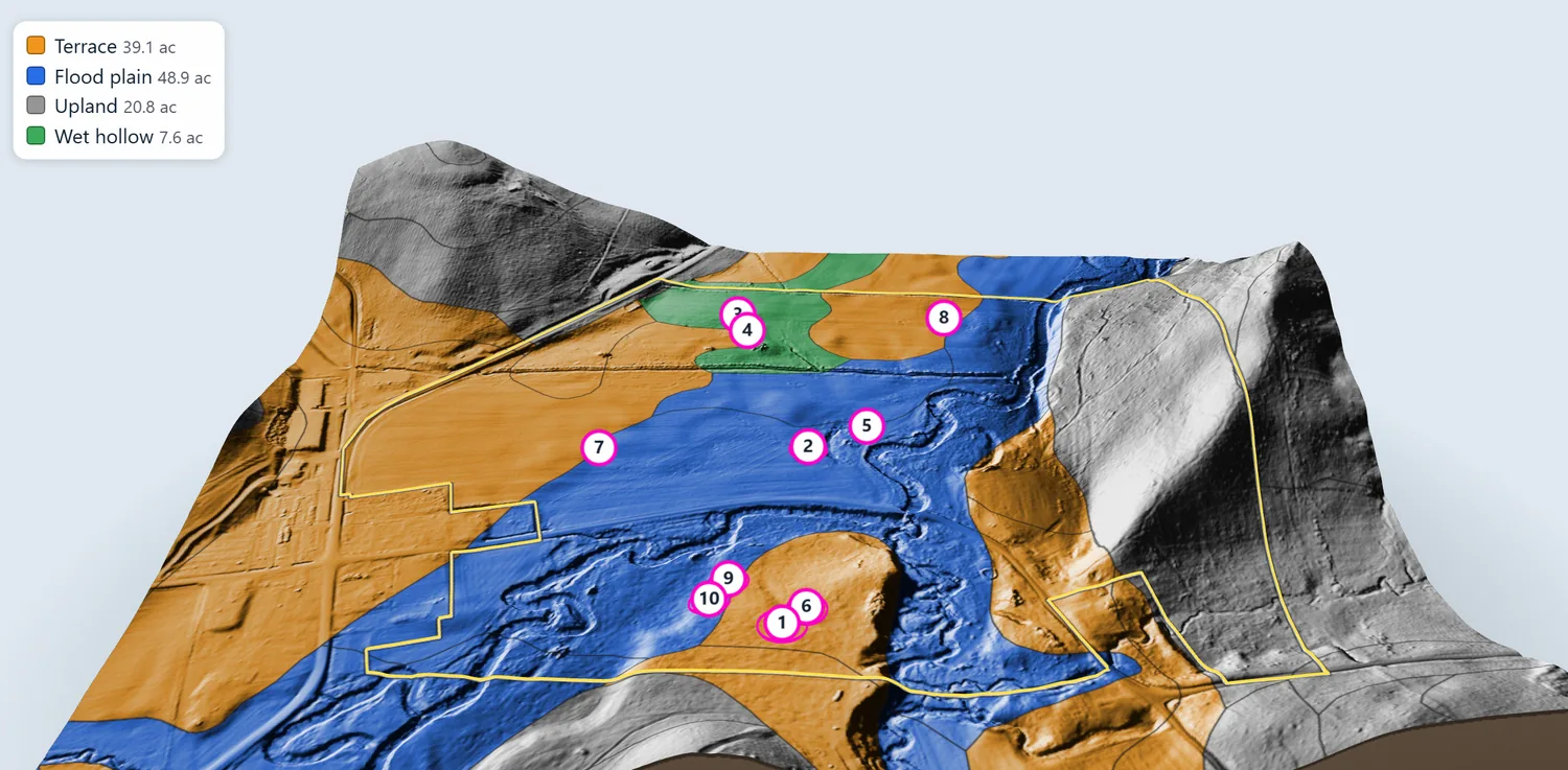
For surface hunters. First Rise scores nearly 250,000 crop fields across all 88 Ohio counties for the setting where people camped: a feeder creek, a dry rise above the water, and recorded sites nearby. Then it shows the ground underneath, with LiDAR views, soil maps, a flint guide and a hunting forecast, and prints a permission letter for the landowner.
Visit firstrise.app